Tuesday, May 16, 2023
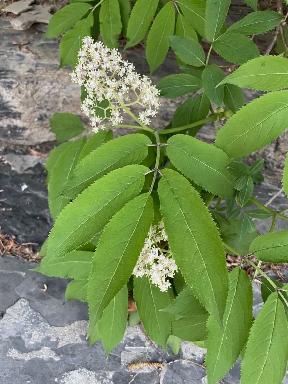
Elderberry blooming along the beach
Morning Observation:
This morning in North Hero at 7:05AM it’s currently 57 degrees under overcast skies. Winds are out of the south at 3-5 mph. Relative humidity is 47%l, dewpoint 37, barometric pressure 29.63”. Yesterday’s high was 68, and yesterday’s low was 49. The overnight low got down to 57.
This morning in Huntington it’s currently 53 degrees under overcast skies. Winds are calm. Relative humidity is 81%, dewpoint 47, barometric pressure 29.67”. Yesterday’s high was 71, and yesterday’s low was 33. The overnight low got down to 49.
Forecast Discussion:
Morning radar imagery shows low pressure just to the north of Lake Huron with a line of showers stretched along a cold front running west to east into Québec. This front is expected to drop into the region by this afternoon bringing its showers along with it. Given the very dry antecedent airmass over the region, there shouldn’t be a whole lot of rain in this system. Much colder air will move in behind the front overnight with frost expected in the usual cold spots by Wednesday morning. Chilly high pressure will build in Wednesday bringing clearing skies, breezy northwest winds, and highs only in the upper 40s to around 50. We might see some record-breaking cold Wednesday night as temperatures drop into the upper 20s and low 30s with widespread frost and hard freezes expected region-wide. Temperatures will begin to moderate back to more seasonable levels by Thursday with highs bumping up into the low 70s by Friday on a gusty southerly airflow.
3-Day Forecast:
We’ll see mostly cloudy skies today with showers likely, mainly after 3:00pm. Highs will be near 69 in Huntington and 61 in North Hero, dropping in the afternoon as the aforementioned front drops through. Winds will be southwesterly 8-14 mph, becoming northwesterly in the afternoon. Chance of precipitation is 60% with rainfall amounts of 0.10″-0.25″ possible. Tonight should start out cloudy with showers likely, mainly before 9:00pm. Skies should gradually become partly cloud, with a low around 35 and north winds 5-8 mph. Chance of precipitation is 60% with rainfall amounts of less than 0.10″ possible.
Wednesday should be mostly sunny with a high near 50 and northwest winds 10-16 mph. Wednesday night should be mostly clear and cold with a low around 30 and northwest winds 5-9 mph becoming calm after midnight.
Thursday should be sunny with a high near 64 and west winds 5-7 mph. Thursday night should be mostly clear with a low around 42 and light south winds increasing to 5-10 mph in the evening.
Almanac:
Last year on this date in Huntington we had a high of 82 and a low of 55. We picked up 1.05″ of rain.
Last year in North Hero we had a high of 75 and a low of 58. We picked up 0.21″ of rain.
Burlington averages for this date are a low of 48 and a high of 69.
The record low was 29 in 1987.
The record high was 87 in 1991.
The Lake Champlain lake level in Burlington is 98.35′.
The water temperature is 52˚.
Last year’s lake level was at 97.81″ (got that extra 10′ back pretty quick, huh?)
The Mt. Mansfield snow stake depth is 10″.
The average depth for this date is 22″.
Sky Notes:
Sunrise: 5:24AM
Sunset: 8:13PM
Length of day: 14:49:05
Today will be 2:11 longer than yesterday.
The Moon is a waning crescent, 26 days old with 13% illumination.
Moonrise: 3:57AM
Moonset: 5:04PM
About Today’s Photo:
I came across this elderberry the other day blooming along our currently very small beach. I’ll have to keep an eye out for its berries later in the season.
iPhone 12 Pro

Leave a comment